
Geological services
Coastal Plain and Continental Shelf geology, applied to today’s coastal needs.
What we do
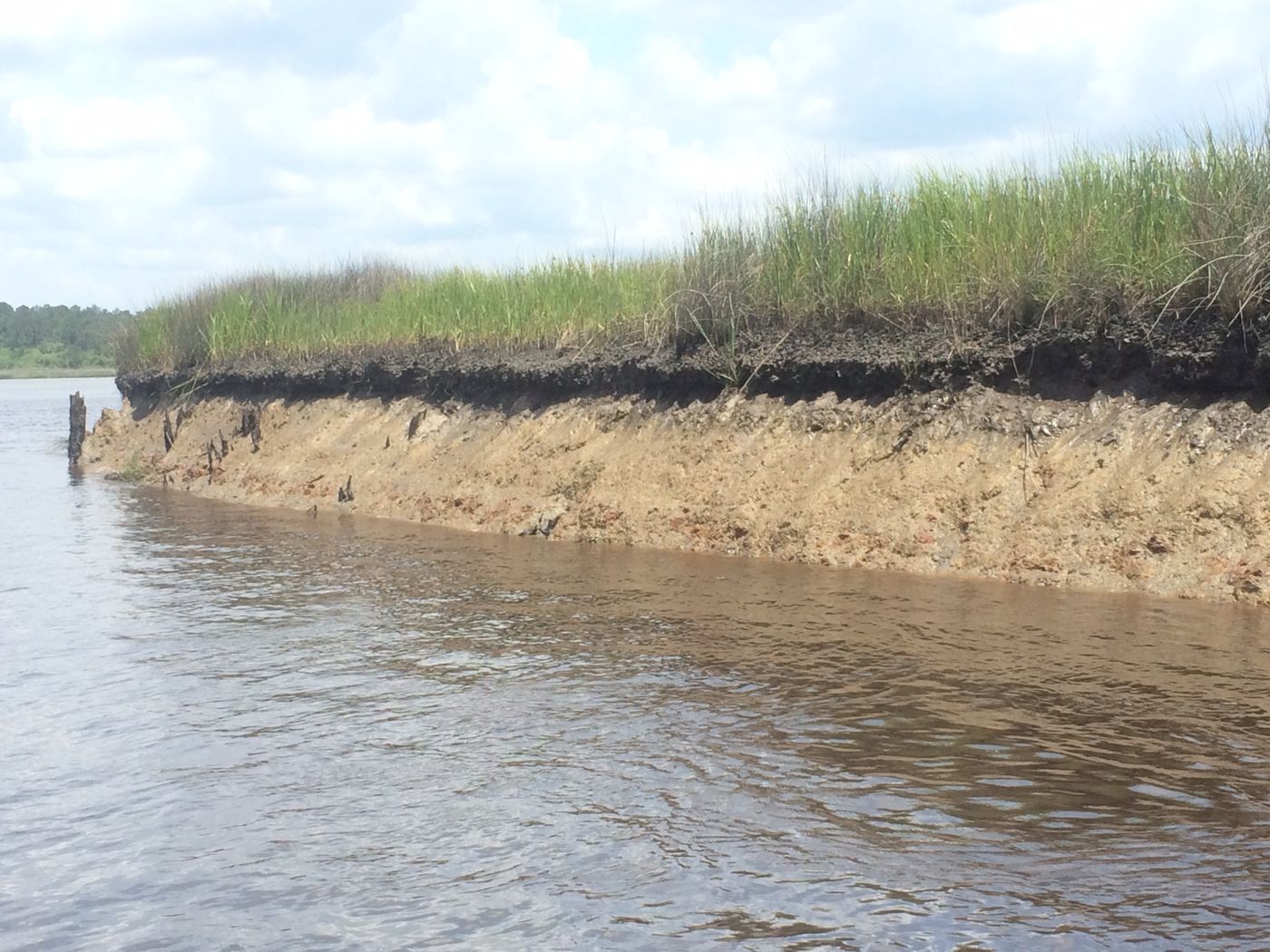
Coastal erosion
Shoreline dynamics and coastal change, read through repeat survey campaigns in geologically complex settings.
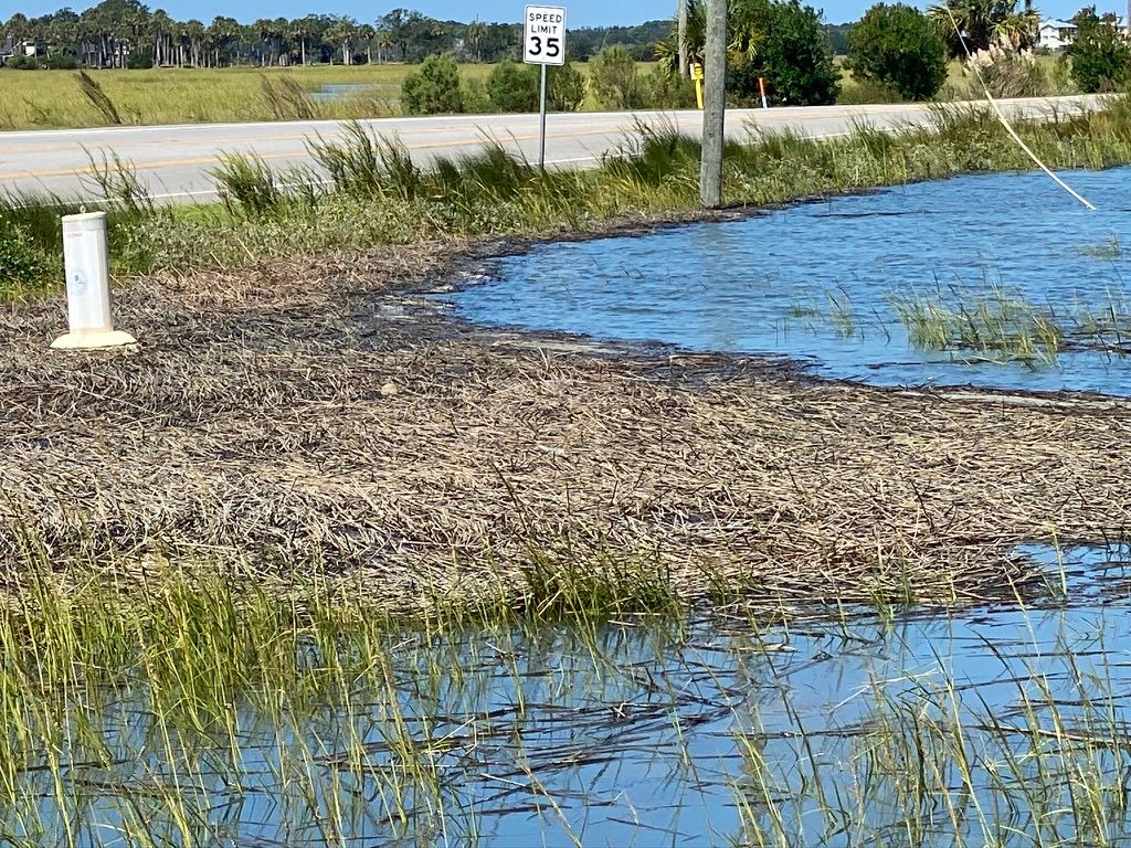
Nuisance flooding
Tidal, storm, and sunny-day flooding: water levels, datums, and what a site's ground elevation means relative to MLLW.
Monitoring
Water-level and site monitoring over time, with the data delivered as real-time dashboards and in formats you can make solid decisions with.
Geophysical surveys
Terrestrial, airborne and marine geophysical surveys, from survey design through collection, processing, QA/QC, analysis and interpretation. Our common methods are sidescan sonar, sub-bottom profiling, and 2-D and 3-D ground-penetrating radar (GPR), tied in with RTK positioning and ground control points.
Expert witness testimony
Analysis, documentation and testimony on coastal and geological questions.
Drone campaigns (FAA Part 107)
In-house processing and analysis of scientific data from FAA Part 107 drone flights and ground surveys.
- Orthomosaics
- Elevation models
- Repeat surveys
- LiDAR and multispectral
- Other sensors and products on request
GNSS network solutions
We process GNSS network data with our own Python-based analysis engine, running double-difference network solutions and Precise Point Positioning (PPP) in automated workflows. What you get is the subtle stuff that matters, small positional changes and structural displacement over time, delivered as clean time series and trends, with no one on your team wrestling with legacy geodetic software.
- Survey-grade positioning
- Network processing
- Subsidence and land-motion monitoring
- Combined with InSAR analysis
Who we work with
- Local governments
- Federal and state agencies
- Law firms and insurers
- Property owners and engineers
- Research scientists
How to work with us
- Email a short description of the problem and the site.
- We talk it through and scope it.
- You get a written proposal.
- Work is invoiced as it's done.
Start with an email to scott@earthaccess.us.